Listen to this story
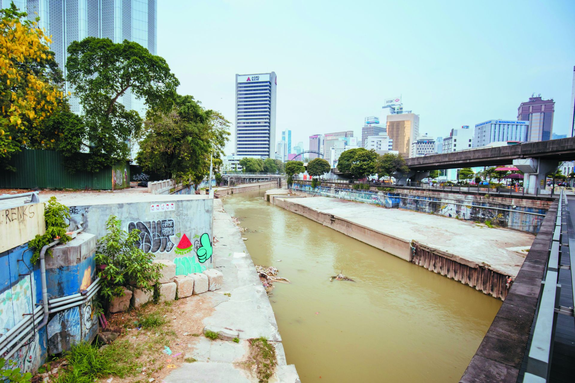
Behind one of Kuala Lumpur’s glittering megamalls, a vast spaghetti-like labyrinth of concrete highways engulfs a natural highway of the past — the Klang River. It’s mid-September, and I’m navigating one of the high-rise developments that flank its historic banks, walking through an endless multilevel parking garage.
I’m trying to get down to the water itself, a feat that few others seem to be attempting — understandably, given the location is both uninviting and very much off the beaten path. Concrete walls enclose the river, which due to its low levels today reveals more concrete on its banks, littered with disintegrating fabrics. A flock of majestic milky storks congregate nearby, a stark contrast to the plastic trash floating past.
The 75-mile-long river flows through Malaysia’s capital, Kuala Lumpur, weaving its way through the sprawling metropolis and then into the industrial city of Klang, governed by Selangor state and home to one of the world’s busiest ports. From there, the Klang flows out into the Malacca Strait, an immensely important shipping route, connecting the southernmost port in mainland Asia to the rest of the world. The river basin, with its many tributaries, covers the Klang Valley — the most urbanized, industrial and densely populated area of this Southeast Asian nation. Create a free account to continue reading Already a New Lines member? Log in here Create an account to access exclusive content.


